


ANALISIS PEMETAAN WILAYAH KUMUH, MENENGAH, DAN ELIT DI KOTA BANDAR LAMPUNG BERBASIS TOPOGRAFI
- Mahasiswa Doktor Ilmu Lingkungan, Program Pasca Sarjana Universitas Lampung.
- Dosen Prodi Doktoral Ilmu Lingkungan Universitas Lampung, Kota Bandar Lampung, Indonesia.
- Pusat Studi Kota dan Daerah (PSKD).
4 Downloads
141 Views

Abstract
The city of Bandar Lampung is one of the strategic cities on the island of Sumatra with rapid economic development and urbanization. This city has heterogeneous regional characteristics, both in terms of socio-economic and topographic conditions. This research uses descriptive qualitative methods by analyzing regional data regarding Mapping of Slum, Middle and Elite Areas in Bandar Lampung as well as Classification Based on Low and High Lands obtained from the Central Statistics Agency (BPS) and the arcgis application. The results of this research show that lowland areas are generally inhabited by low-income communities with infrastructure challenges, while middle and highland areas have better facilities. A topography-based approach provides solutions for more inclusive and sustainable spatial planning. It is also hoped that the results of this research can support government policies in reducing social inequality, improving peoples quality of life, and encouraging sustainable development.
Keywords
How to Cite This Article
Erina Noviani et, al (2026); ANALISIS PEMETAAN WILAYAH KUMUH, MENENGAH, DAN ELIT DI KOTA BANDAR LAMPUNG BERBASIS TOPOGRAFI, International Journal of Advanced Research (IJAR), 14 (08), 1786-1797, ISSN 2320-5407. DOI: https://doi.org/10.21474/IJAR01/24091
Corresponding Author
Publication Achievement
Publication card
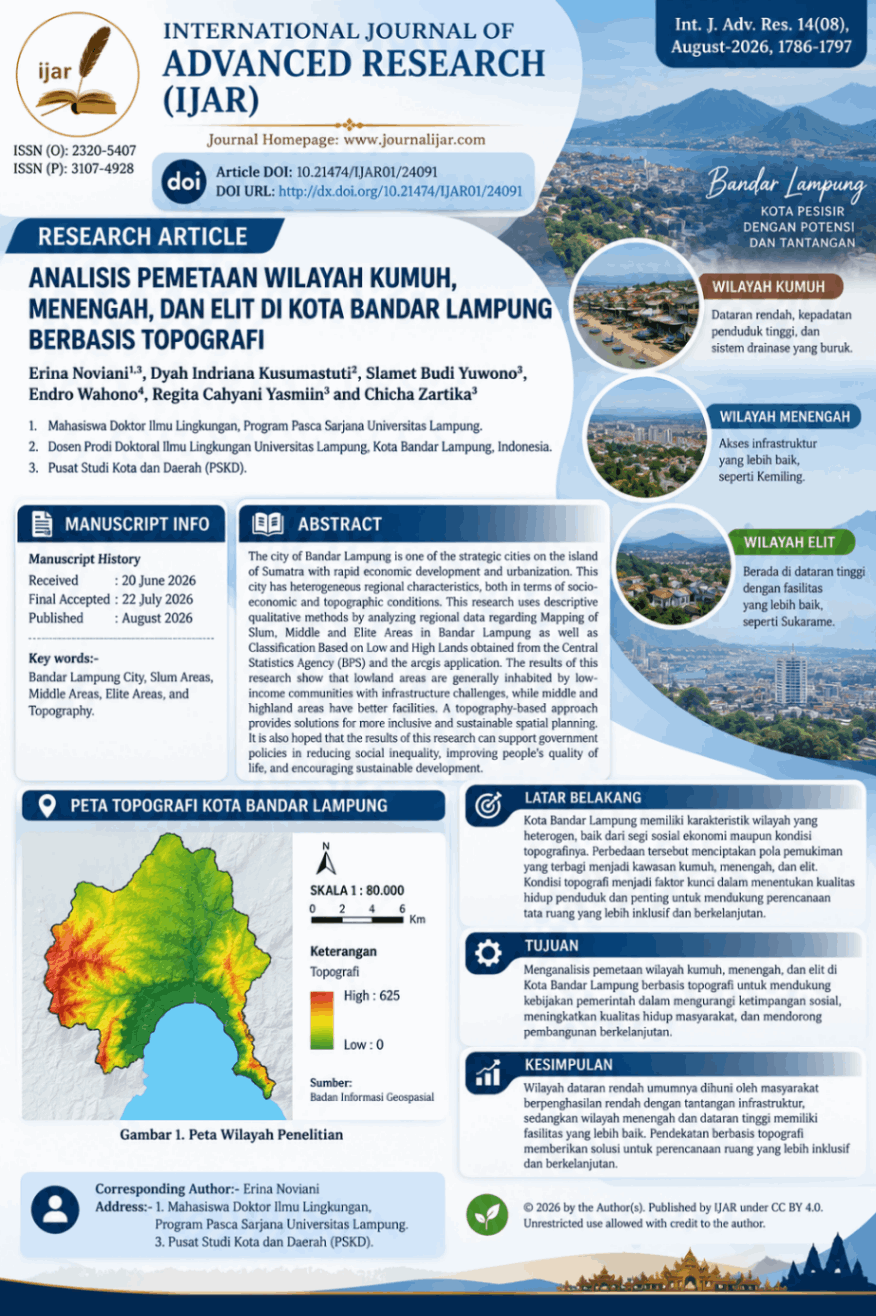
🎉 Proud to contribute to scientific research! Share your publication with your colleagues and professional network.
Article Analytics
Similar Articles
 This work is licensed under a Creative Commons Attribution 4.0 International License.