


MAPPING OF FLOOD RISK AREAS IN THE CATCHMENT AREAS OF RUE MINISTRE, DJIBI AND BETE (ABIDJAN DISTRICT) USING REMOTE SENSING AND GIS
- Geosciences and Environment Laboratory (LGE), Training and Research Unit for Environmental Sciences and Management, University Nangui Abrogoua (UNA), 02 Bp 801 Abidjan 02, Cote d Ivoire.
- Training and Research Unit for Marine Sciences, University of San-Pedro, City: San Pedro 01 BP 1800 San Pedro 01, Cote d Ivoire.
3 Downloads
212 Views

Abstract
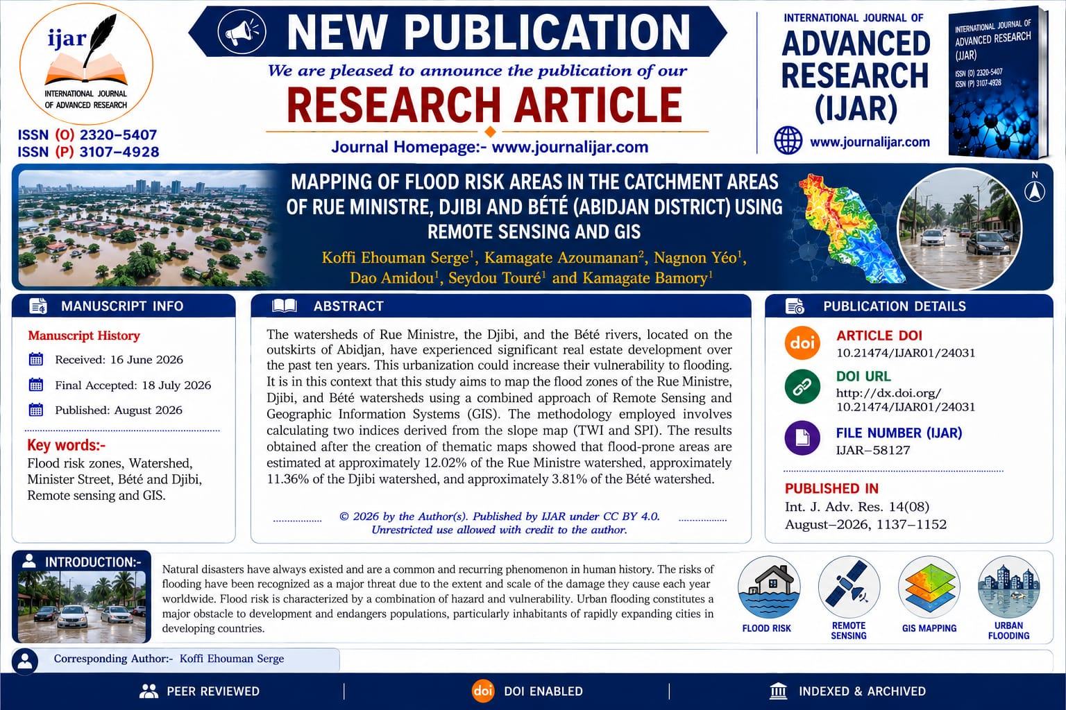
The watersheds of Rue Ministre, the Djibi, and the Bete rivers, located on the outskirts of Abidjan, have experienced significant real estate development over the past ten years. This urbanization could increase their vulnerability to flooding. It is in this context that this study aims to map the flood zones of the Rue Ministre, Djibi, and Bete watersheds using a combined approach of Remote Sensing and Geographic Information Systems (GIS). The methodology employed involves calculating two indices derived from the slope map (TWI and SPI). The results obtained after the creation of thematic maps showed that flood-prone areas are estimated at approximately 12.02% of the Rue Ministre watershed, approximately 11.36% of the Djibi watershed, and approximately 3.81% of the Bete watershed.
Keywords
How to Cite This Article
Koffi Ehouman Serge et, al (2026); MAPPING OF FLOOD RISK AREAS IN THE CATCHMENT AREAS OF RUE MINISTRE, DJIBI AND BETE (ABIDJAN DISTRICT) USING REMOTE SENSING AND GIS, International Journal of Advanced Research (IJAR), 14 (08), 1351-1361, ISSN 2320-5407. DOI: https://doi.org/10.21474/IJAR01/24031
Corresponding Author
Publication Achievement
Publication card
🎉 Proud to contribute to scientific research! Share your publication with your colleagues and professional network.
Article Analytics
Similar Articles
23
302
2
168
9
171
4
173
18
306
 This work is licensed under a Creative Commons Attribution 4.0 International License.